Great New York day trips on two wheels
NYC and the surrounding areas are perfect for bike rides of distances long and short. There are a few obvious options like riding the
West Side Greenway from Battery Park to Inwood, crossing the
East River bridges or riding
9W over the George Washington Bridge to Piermont or Nyack. With creativity and a helping hand from mass transit you can escape the heat and gridlock of the city and enjoy a bit of nature. I like riding trails in particular because they take you places you'd have a hard time seeing by other means and because it's great not having to worry about traffic lights and cars. These are a few of my favorites, ordered by distance from NYC.
1 — Belt Parkway Bike Path to the Rockaways
Distance: 40 miles
Highlights: Beach, Bridges, Tacos, Pizza

Riding on the sand at Fort Tilden

Rockaway beach boardwalk
This is one of the most accessible rides because you don't need to leave the 5 boroughs and you'll be riding miles on protected bike lanes and boardwalks along the beach. This one is also easy to customize to your preferred distance. The ride is completely flat and you can easily do it on your grandmother's beach cruiser. I like to do it early in the season when there are fewer people and the popular
taco spots and
breweries have virtually no lines. The full loop starting in Grand Army Plaza is usually around 40 miles.

Gil Hodges Bridge
You start out on the bike lane of your choosing (either Bedford Avenue or Ocean Parkway) and head straight down to Sheepshead Bay or Brighton Beach respectively. After a short ride on busy Eammons Ave you pick up the protected bike lane that runs along the Belt Parkway. I usually keep riding past the Gil Hodges Bridge until the path breaks on 84th st in Howard Beach. Crossbay Blvd takes you over Jamaica Bay and on to the Rockaways peninsula. You can ride the boardwalk for a ways before switching to Rockaway Beach Blvd. Riis Beach will soon be on your left and Fort Tilden is just a bit further down a path off of Beach 169th St.
Once you've soaked up enough sun you can head back to Brooklyn via the incredibly narrow Gil Hodges Bridge. There are some great pizza options in south Brooklyn as well as some Russian or Central Asian food if you're not still full from tacos. There are also subway lines available if you've gotten your fill of riding for the day.
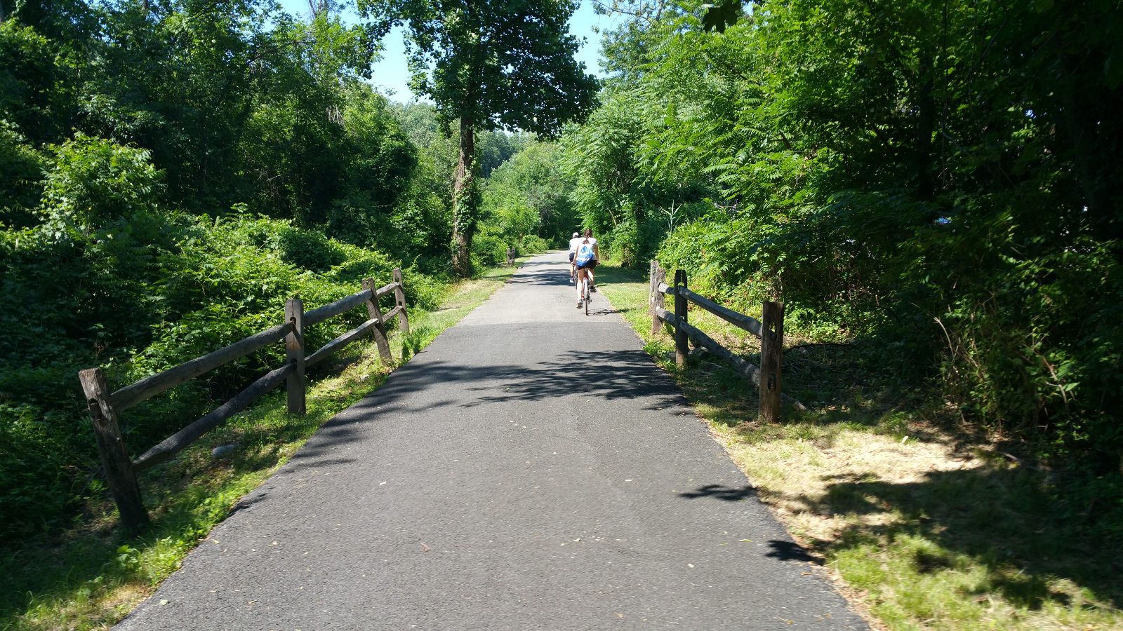
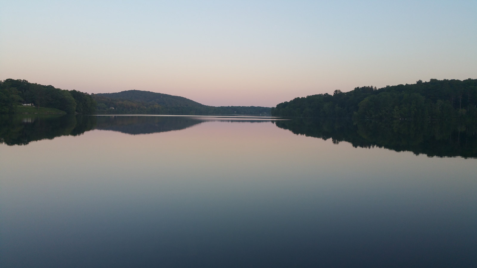
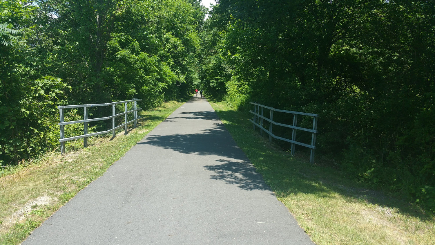
2 — North and South County Trails (map)
Distance: 49 miles
Highlights: Nature, Lakes, Viaduct

Viaduct along the North County Trail near Yorktown Heights
This is truly a must for anyone who has access to a bike in NYC. The rise of the automobile in America doomed many train lines around the country. Over the years many tracks were removed and the paths turned into rail trails for runners, walkers and cyclists. Some are gravel, some are hard packed dirt and some are miles upon miles of beautifully paved riding bliss. The North/South County trails are examples of the latter. The trail begins near the end of several subway lines in the Bronx. It starts out as the "Old Putnam Trail," an unpaved portion in Van Cortland Park.
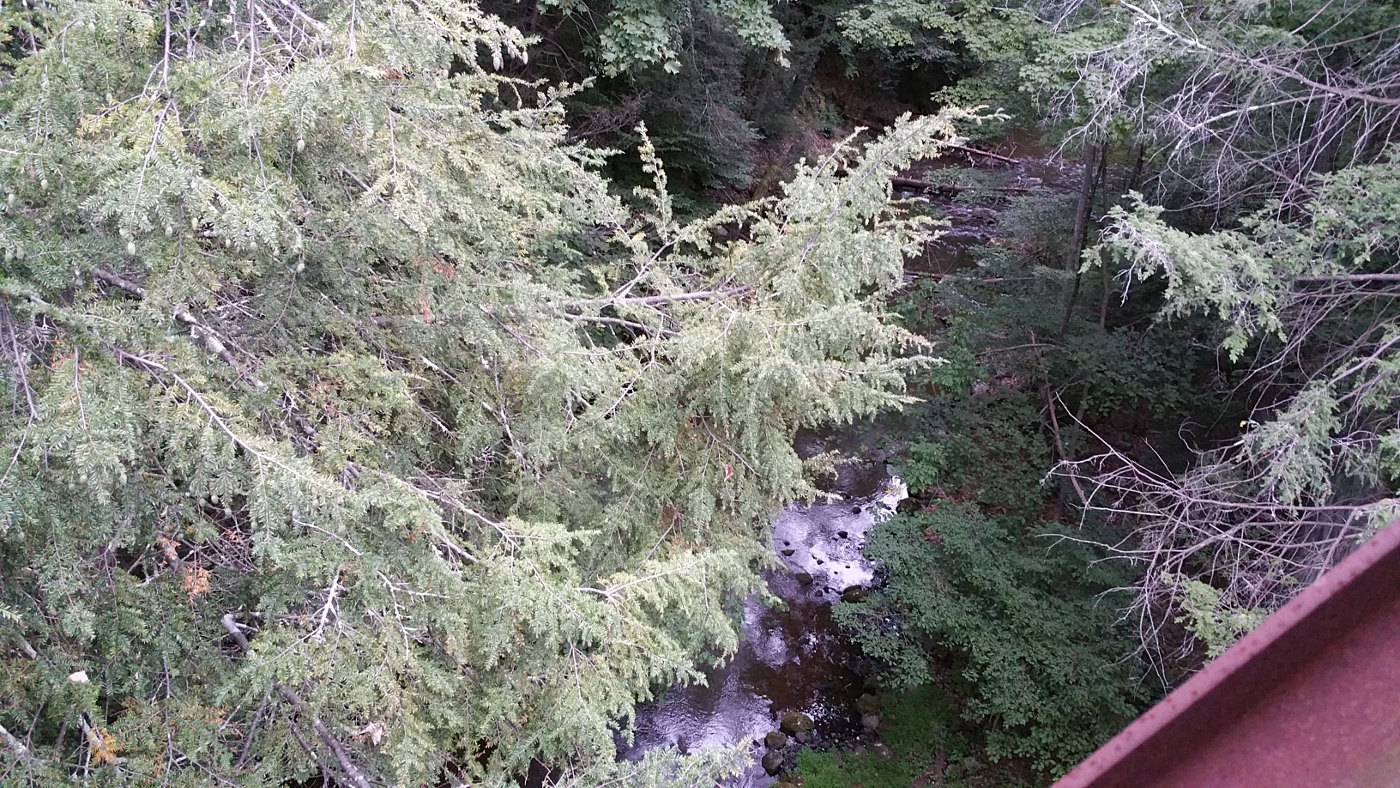
Stream along the trail in Putnam County
It can be a bit tricky to get through because some sections are perpetually flooded and there are tree roots, gravel and mud to contend with. It's well worth it because about a mile north, at the Westchester county border, it turns into a paved path that will take you about 50 glorious miles to the town of Brewster in Putnam County. The trail runs along streams, park land, through several small towns and eventually several large reservoirs. The further you go the more serene the landscape becomes with small farms and tall trees surrounding the trail. A few miles south of Yorktown Heights the trail crosses a viaduct over the New Croton Reservoir. The path ends a short distance from the town of Brewster, which conveniently has a Metro North station that will take you to Grand Central in a little over an hour.
3 — Delaware & Raritan Canal Tow Path (map)
Distance: 103 miles
Highlights: Nature, Princeton, Lambertville, New Hope

Canal and tow path near Lambertville

Lock north of Lambertville
The
D&R is a long canal that connects the two rivers it's named after. There are unpaved tow paths along the canal providing over a hundred miles of riding. The path begins in New Brunswick which is just under an hour from New York Penn Station on NJ Transit. It runs northwest at first then continues southwest past Princeton to Trenton where it meets the Delaware River. The path winds north along the river past New Hope and Lambertville all the way to Allentown, PA. There is practically no elevation gain over the 100 miles but the paths do get muddy and have some


rocky areas especially around the canal locks. The water is full of turtles hanging out on practically every rock and branch in the canal. We also saw herons, woodpeckers, geese, ducks, rabbits and other small birds and animals. There are lots of options to stop for a rest. Princeton has lots of great restaurants and is only a short detour from the trail. The Delaware River portion has paths on both sides of the river so you can choose which state to ride in. Around halfway to Easton the path runs through the towns of New Hope and Lamberville which are separated by a short bridge over the river. Both are charming small historic towns full of bars, restaurants, antique stores and small bed and breakfasts. Connections back to the city are available on the NJ side in High Bridge and Gladstone but be sure to check the schedules before you go as service is limited.
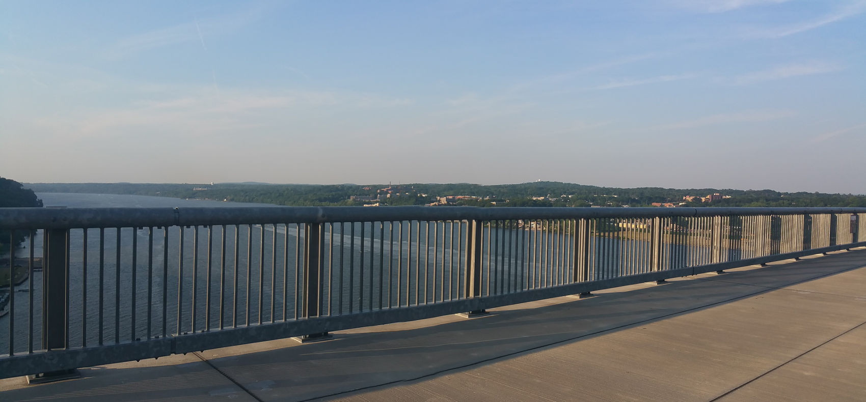
4 — Dutchess + Hudson Valley Rail Trails (map)
Distance: 30 miles
Highlights: Paved Road, Walkway Over the Hudson, New Paltz

The view south from the Walkway Over the Hudson
Like the N/S County trail, the Dutchess County and Hudson Valley rail trails are beautifully paved trails that allow miles of undisturbed riding. The Dutchess County trail starts in Hopewell Junction and if you want to ride the whole thing you can take the Metro North's Hudson Line to New Hamburg and ride local roads about 8 miles west to where the trails start. Once on it, it will take to Poughkeepsie where it crosses the river over the
Walkway Over the Hudson. The crossing is
212 feet above the water and offers impressive views of the river north and south. The Hudson Valley rail trail picks up on the other side of the river and ends abruptly outside of New Paltz. Riding a few miles further takes you into the tiny but charming downtown. New Paltz is a college town with lots of excellent restaurants, antique stores and coffee shops. It also has several small breweries nearby along with farmers markets and loads of other attractions. You can continue along the Wallkill Valley rail trail or ride back to Poughkeepsie to catch the train back.
5 — Wallkill Valley Rail Trail (map)
Distance: 43 miles
Highlights: Dirt Trail, Nature, Viaducts, New Paltz, Kingston

View of Rosendale and the Rondout Creek from the trestle

Looking west from the trail towards the Shawangunk Ridge
The
Wallkill Valley rail trail is one of the best riding experiences within a short distance from NYC. The trail is only paved in a few sections and most of the surface is hard packed dirt. I can say from experience that it can be ridden with a skinny-tire road bike but having tires in the 28-37 range would certainly be more comfortable. The best way to ride the whole thing is to take the Port Jarvis Metro North line to Salisbury-Mills and ride a short distance to the start of the trail in Walden, NY. As you ride the path north you'll pass a tough gravel stretch in the town of Wallkill (you can avoid it by riding the adjacent roads if you prefer).
The trail interrupts briefly to go around a prison complex in Gardiner then continues to the town of New Paltz. Continuing north from New Paltz you'll encounter beautiful views of the Shawangunk Ridge and the Wallkill River. You will pass two viaducts, the second of which is the famous
Rosendale Trestle which passes over Rondout Creek.

The Walkill Rail Trail passing over the Rosendale trestle
There are large caves and relics of the cement mining industry right along the trail on the way to Kingston. The trail ends a mile or so south of downtown Kingston, a once-neglected town that has gone through a renaissance in recent years. There are cafes, restaurants, bars and clubs sprinkled around the downtown. There is also a pleasant historic area downhill by the river. The O&W rail trail is another scenic trail that ends in Kingston and is a good option to ride back. It runs parallel to the Wallkill Valley trail but you will need to head a few miles east on local roads to reach New Paltz and reconnect with the trails that head back to NYC.

Street in downtown Kingston, NY